
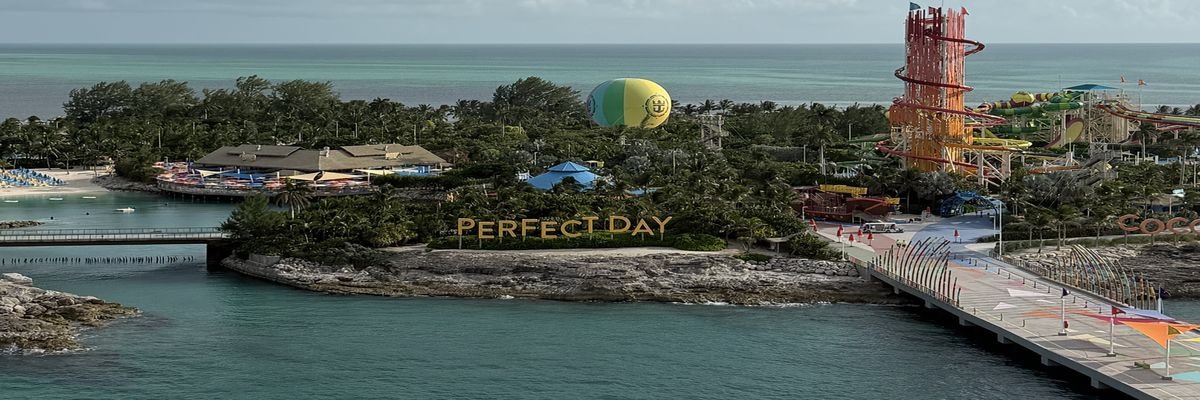
 Photo: Seabound Journeys
Caribbean
Year-round · peak December–April
54 places · 31 ports of call · 13 departure ports · 10 private destinations · +2 more with departures
Departure ports 13
- Baltimore (Cruise Maryland Terminal)United States · Departure port
- Fort Lauderdale (Port Everglades)United States · Departure port
- Galveston (Port of Galveston)United States · Departure port
- Jacksonville (JAXPORT)United States · Departure port
- Miami (PortMiami)United States · Departure port
- Mobile (Alabama Cruise Terminal)United States · Departure port
- New Orleans (Port of New Orleans)United States · Departure port
- New York (Manhattan, Brooklyn, Cape Liberty)United States · Departure port
- Norfolk (Half Moone Cruise and Celebration Center)United States · Departure port
- Palm Beach (Port of Palm Beach)United States · Departure port
- Philadelphia (PhilaPort Cruise Terminal)United States · Departure port
- Port Canaveral (near Orlando)United States · Departure port
- Tampa (Port Tampa Bay)United States · Departure port
Eastern 10
- Amber Cove, Dominican RepublicDominican Republic · Port of call
- AntiguaAntigua and Barbuda · Port of call
- Bimini, BahamasBahamas · Port of call
- Grand TurkTurks & Caicos · Port of call
- Nassau, BahamasBahamas · Port of call
- San Juan, Puerto RicoPuerto Rico · Port of call · Departure port
- St. KittsSt. Kitts & Nevis · Port of call
- St. Maarten / St. MartinSt. Maarten · Port of call
- St. Thomas, USVIU.S. Virgin Islands · Port of call
- Tortola, BVIBritish Virgin Islands · Port of call
Private destinations 10
- Castaway CayBahamas · Private destination
- Celebration KeyBahamas · Private destination
- Great Stirrup CayBahamas · Private destination
- Half Moon CayBahamas · Private destination
- Harvest CayeBelize · Private destination
- Lookout Cay at Lighthouse PointBahamas · Private destination
- Ocean Cay MSC Marine ReserveBahamas · Private destination
- Perfect Day at CocoCayBahamas · Private destination
- Princess CaysBahamas · Private destination
Southern 10
- ArubaAruba · Port of call
- BarbadosBarbados · Port of call · Departure port
- BonaireBonaire · Port of call
- Cabo Rojo, Dominican RepublicDominican Republic · Port of call
- CuraçaoCuraçao · Port of call
- DominicaDominica · Port of call
- GrenadaGrenada · Port of call
- Isla Catalina, Dominican RepublicDominican Republic · Port of call
- MartiniqueMartinique · Port of call
- St. LuciaSt. Lucia · Port of call
Western 9
- Belize CityBelize · Port of call
- Costa Maya, MexicoMexico · Port of call
- Cozumel, MexicoMexico · Port of call
- Falmouth, JamaicaJamaica · Port of call
- Grand CaymanCayman Islands · Port of call
- Key West, FloridaUnited States · Port of call
- Ocho Rios, JamaicaJamaica · Port of call
- Progreso, MexicoMexico · Port of call
- Roatan, HondurasHonduras · Port of call
Also mapped 2
- Freeport, Grand BahamaBahamas · Port of call
- Puerto Limón, Costa RicaCosta Rica · Port of call